Rain forecast for Central Mississippi hits 70% chance Saturday night
Scattered showers and thunderstorms are expected to peak after sunset on Saturday, potentially affecting evening events before a cold front arrives Tuesday.
By Alexander Parker ·
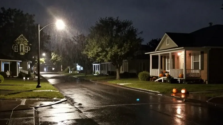
Residents in Central Mississippi should expect wet conditions during the weekend, with the heaviest rainfall occurring after dark on Saturday. Forecasters indicate that scattered showers and thunderstorms will move through the region from Saturday morning until Sunday evening. The precipitation will not cover the entire area evenly. Some neighborhoods may receive rain while others remain dry.
The wettest periods are projected for the hours following sunset on Saturday and before dawn on Sunday. No severe weather is currently anticipated for this initial round of storms. Individuals planning outdoor gatherings, such as Halloween parties scheduled for Saturday night, are advised to monitor local forecasts before leaving their homes.
A second weather system will impact the region from Tuesday into Wednesday. A cold front will push through, bringing gusty winds and additional showers. These storms may be stronger than the weekend activity, though the likelihood of widespread severe weather remains low. Cloud cover is expected to persist through Wednesday and Thursday.
Temperatures will decline as the front moves through. Morning lows will drop into the 40s Fahrenheit, while afternoon highs will settle in the mid-70s. Rain chances will decrease rapidly after the system passes.
Source: WLBT